Guoqing Zhou: Orthorectification of High-Resolution Remotely Sensed Images, Gebunden
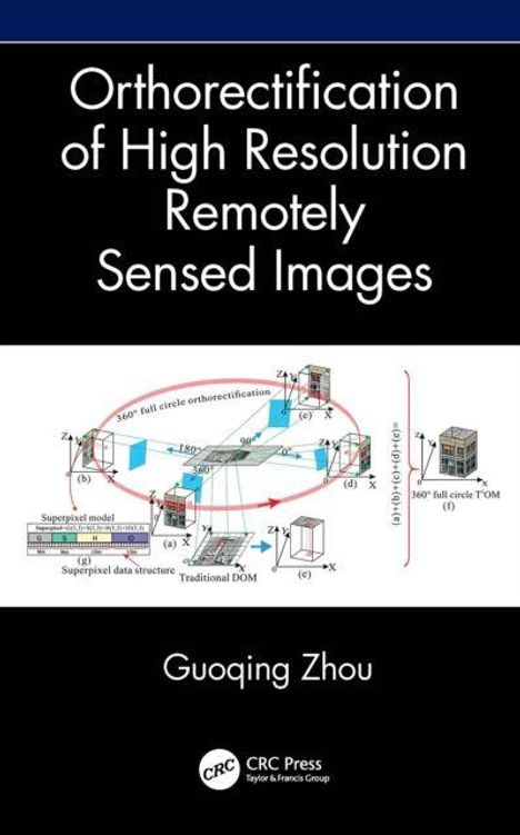
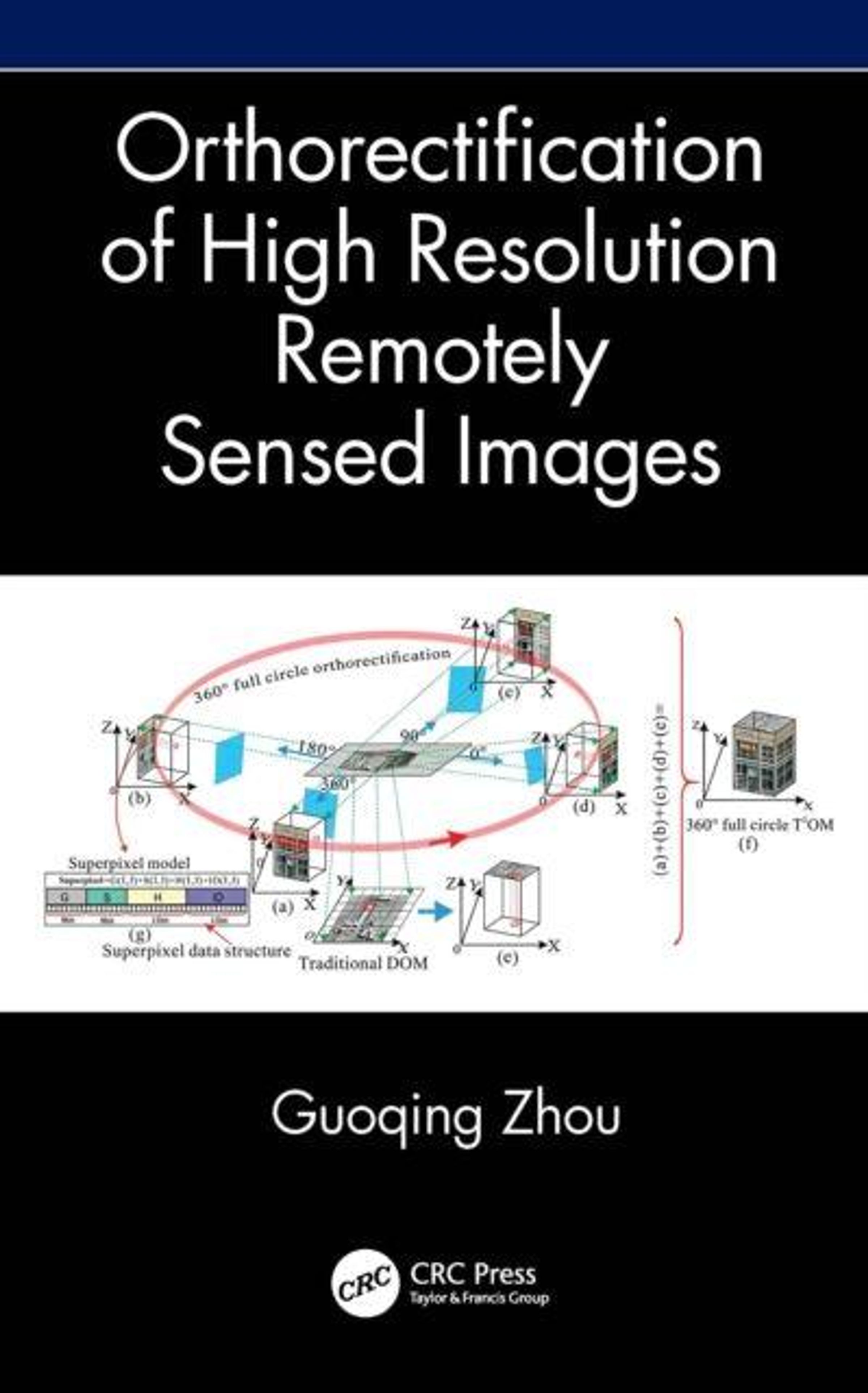
Orthorectification of High-Resolution Remotely Sensed Images
Sie können den Titel schon jetzt bestellen. Versand an Sie erfolgt gleich nach Verfügbarkeit.
- Verlag:
- Taylor & Francis Ltd, 10/2026
- Einband:
- Gebunden
- Sprache:
- Englisch
- ISBN-13:
- 9781041052722
- Artikelnummer:
- 12824394
- Umfang:
- 222 Seiten
- Erscheinungstermin:
- 27.10.2026
- Hinweis
-
Achtung: Artikel ist nicht in deutscher Sprache!
Klappentext
Orthorectification in remote sensing is used to geometrically correct satellite or aerial image distortions caused by terrain elevation and sensor lense etc. This book explains the orthorectification for different imaging methods such as frame, linear, and video imaging, for different imaged areas such as Greenland without ground features or urban areas with high buildings, for different types of sensors, such as videos and images; and for different requirements of processing speeds such as realtime, onboard, and PCbased processing.. It starts with the definition of orthorectification and provides a step-by-step introduction to the models, the algorithms, the methods, and Digital Orthophoto Map (DOM) quality control.
Features
- Focuses on a specific topic which is crucial for applications like land-use mapping, urban planning, environmental monitoring.
- Clearly explains the theories and the applications through many illustrations and detailed examples.
- Addresses orthorectification systematically and comprehensively for all levels of readers.
- Explains the challenges faced during constructing models, algorithms, and methods for orthorectification.
- Includes the lessons learned from the author's longstanding research and experience on the topic.
This book is an excellent reference for a complete understanding of orthorectification. It's for senior undergraduate students and graduate students in remote sensing, information technology, computer science and engineering, electronic engineering, and geography. It is also valuable for researchers, professionals, and those who work in academia, governmental agencies, and commercial sectors interested in satellite remote sensing image processing.