Collins Maps: RD MAP OF BRIT 2027_RD ATL MFO (Karten)
RD MAP OF BRIT 2027_RD ATL MFO
Karten
Lieferzeit beträgt mind. 4 Wochen
(soweit verfügbar beim Lieferanten)
(soweit verfügbar beim Lieferanten)
Vorheriger Preis EUR 11,17, reduziert um 12%
Aktueller Preis: EUR 9,77
Versandkosten
(United States of America): EUR 19,90
- Verlag:
- Harper Collins Publishers - UK Wholesale Acct, 03/2026
- Sprache:
- Englisch
- ISBN-13:
- 9780008779054
- Artikelnummer:
- 12264437
- Umfang:
- 2 Seiten
- Gewicht:
- 270 g
- Maße:
- 238 x 137 mm
- Stärke:
- 21 mm
- Erscheinungstermin:
- 12.3.2026
- Hinweis
-
Achtung: Artikel ist nicht in deutscher Sprache!
Klappentext
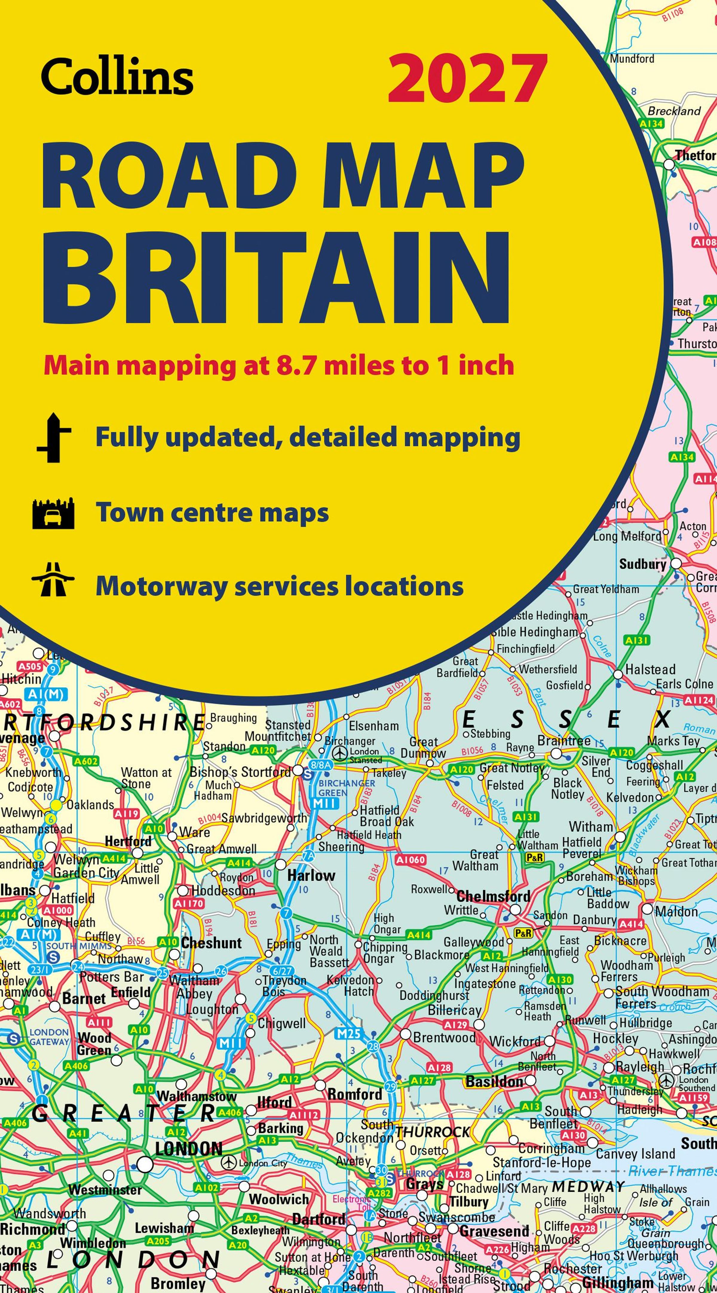
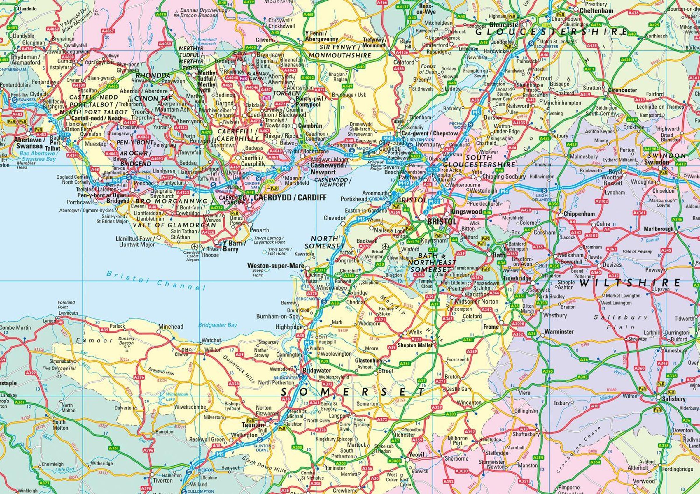
Explore Britain with easy-to-read mapping from Collins.
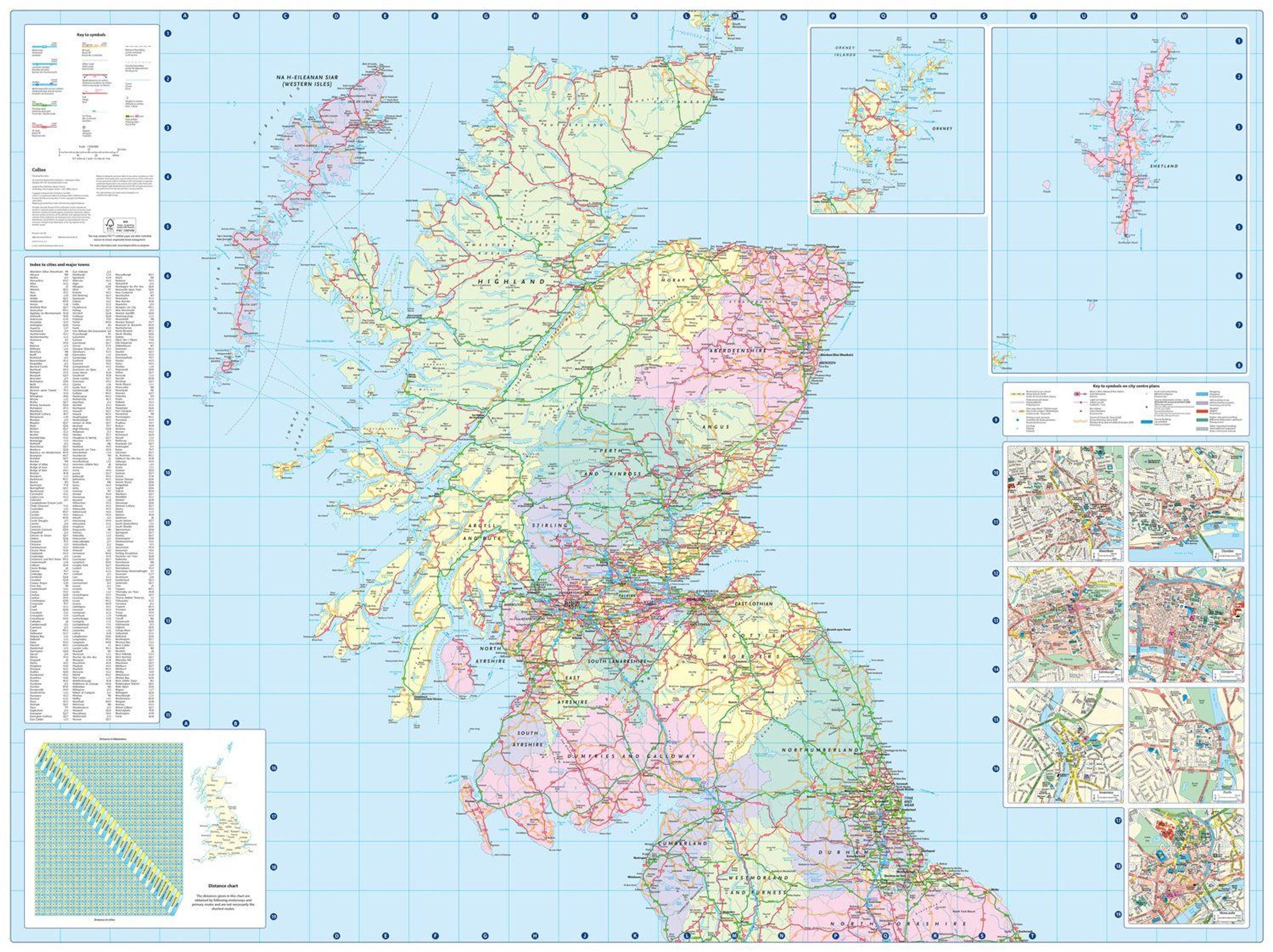
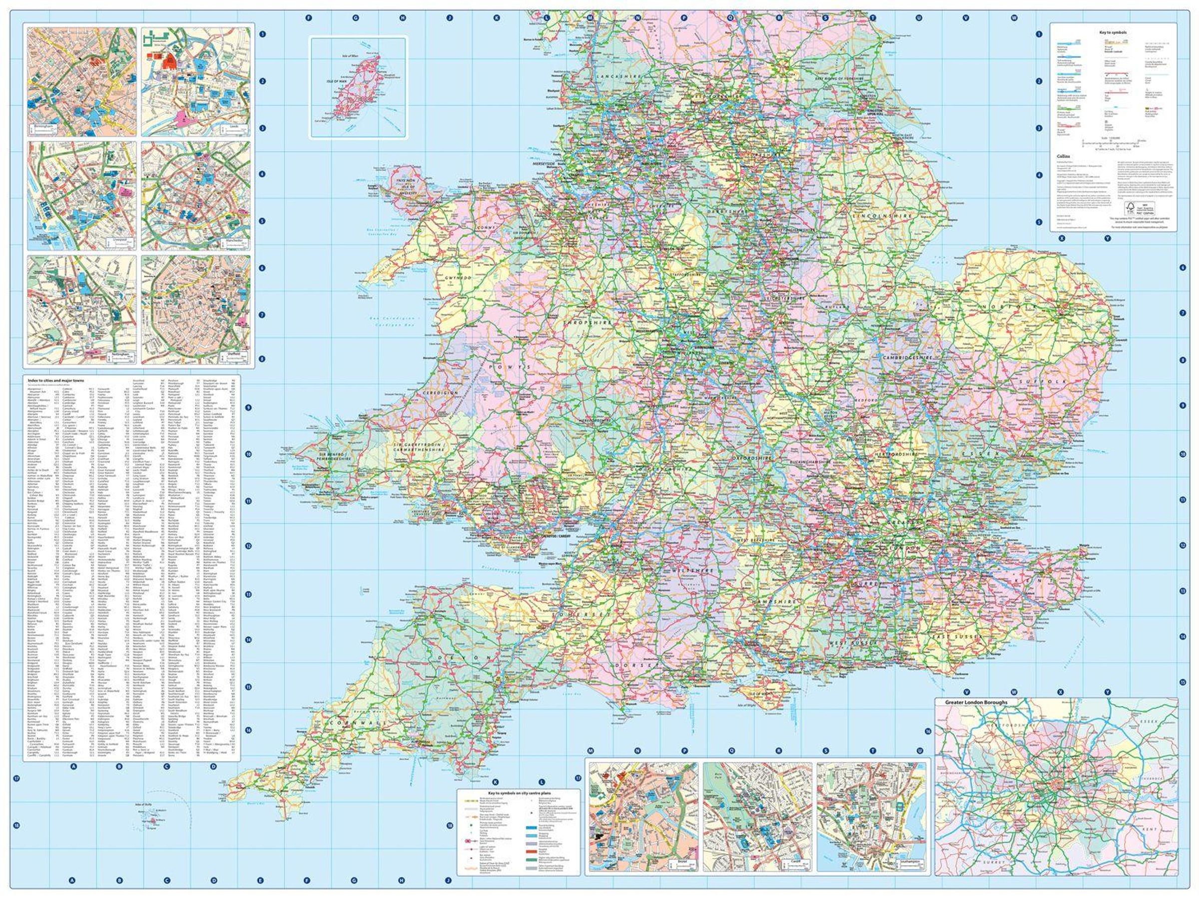
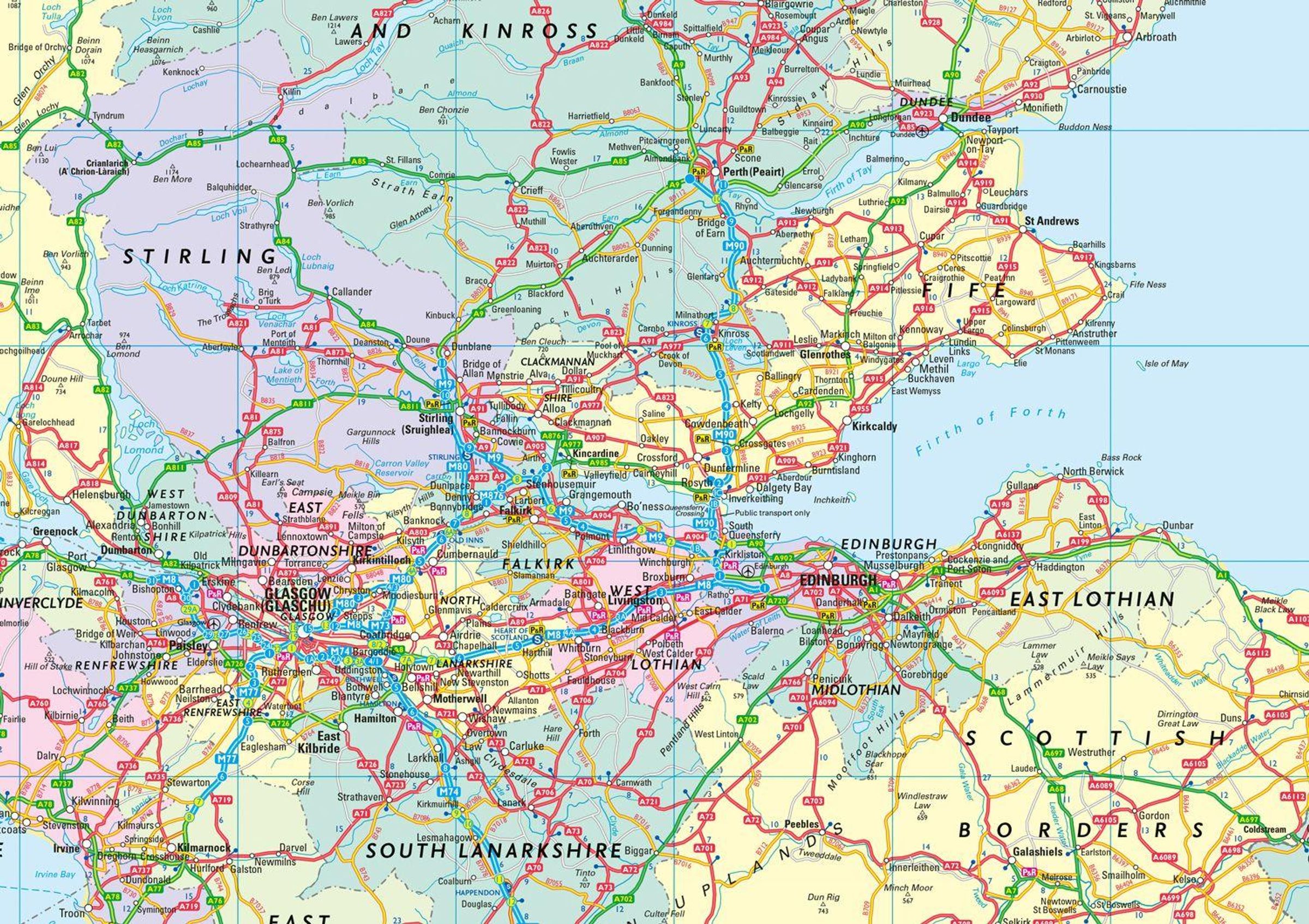
Full-colour, double-sided road map of Great Britain at a scale of 8.7 miles to 1 inch. Northern England, Scotland and the Isle of Man are on one side with Southern England and Wales on the other.
With its easily identifiable counties and unitary authorities, this map is ideal for business users but it is also perfect for tourists for route planning.
Main features:
- Fully updated
- Counties and local council areas shown in colour
- Clear, detailed road network
- Town and city names, rivers and canals are clearly shown
- 16 city / town centre street plans
- Index to place names
- Mileage chart
- Car ferry routes
- Key in English, French and German
- Now includes dual Welsh / English names for Welsh locations, for example, Caerdydd / Cardiff

Collins Maps
RD MAP OF BRIT 2027_RD ATL MFO
Vorheriger Preis EUR 11,17, reduziert um 12%
Aktueller Preis: EUR 9,77