A-Z Maps: Southampton A-Z Street Atl Pb, Kartoniert / Broschiert
Southampton A-Z Street Atl Pb
- Navigate your way around Southampton with ease using trusted mapping
(soweit verfügbar beim Lieferanten)
- Verlag:
- Harper Collins Publishers - UK Wholesale Acct, 05/2025
- Einband:
- Kartoniert / Broschiert
- Sprache:
- Englisch
- ISBN-13:
- 9780008730888
- Artikelnummer:
- 11896915
- Umfang:
- 80 Seiten
- Gewicht:
- 270 g
- Maße:
- 215 x 149 mm
- Stärke:
- 5 mm
- Erscheinungstermin:
- 22.5.2025
- Serie:
- Geographers' A-Z Map Co Ltd
- Hinweis
-
Achtung: Artikel ist nicht in deutscher Sprache!
Weitere Ausgaben von Southampton A-Z Street Atl Pb |
Preis |
|---|
Klappentext
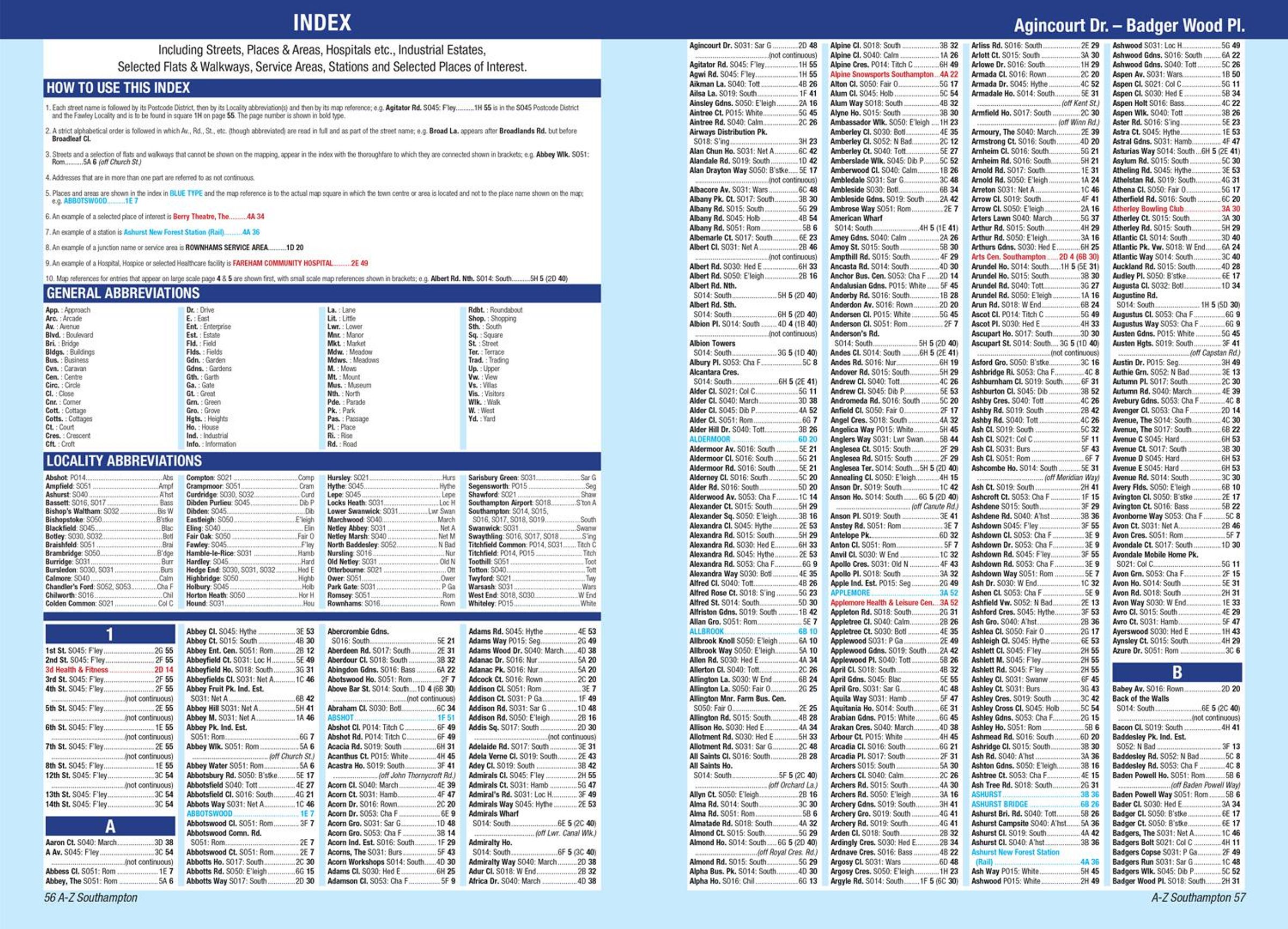
Navigate your way around Southampton with this detailed and easy-to-use A-Z Street Atlas.
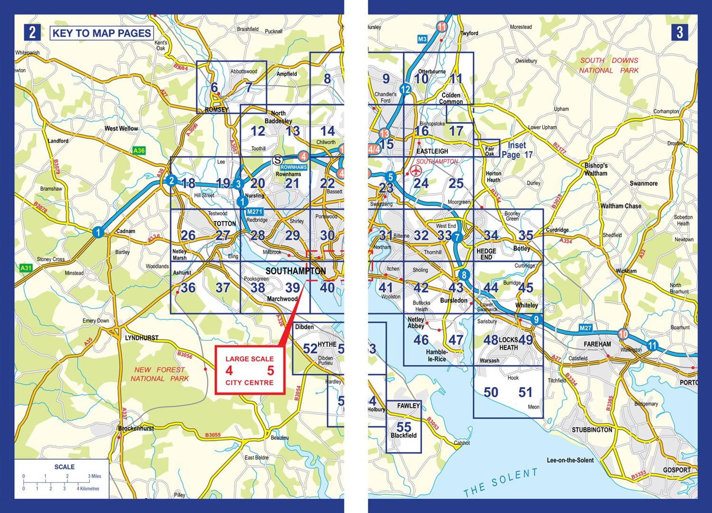
Printed in full-colour, paperback format, this atlas contains 50 pages of continuous street mapping.
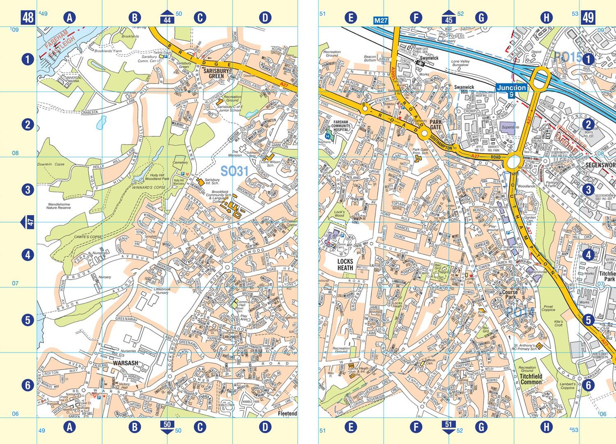
The main mapping extends beyond central Southampton at a scale of 4 inches to 1 mile, featuring postcode districts, one-way streets, park and ride sites, and safety camera locations. Areas covered include:
Eastleigh
Fawley
Hythe
Romsey
Southampton Airport
Totton
Chandler's Ford
Hamble-le-Rice
Hedge End
North Baddesley
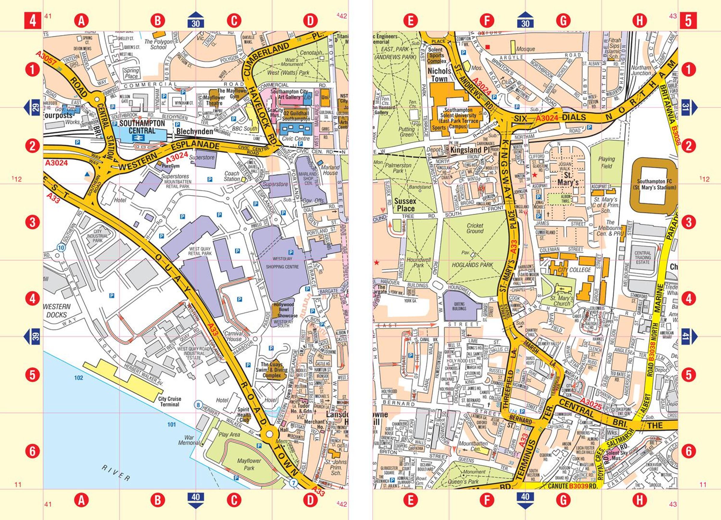
The large-scale street map of Southampton city centre - at a scale of 8 inches to 1 mile - includes:
Postcode map of the Southampton area
Road map of the Southampton area
New Forest National Park boundaries
A comprehensive index lists streets, selected flats, walkways and places of interest, place, area and station names. Additional healthcare (hospitals, walk-in centres and hospices) are indexed as well.