National Geographic Maps - Trails Illustrated: Denali National Park and Preserve Map (Karten)
Denali National Park and Preserve Map
Karten
lieferbar innerhalb 1-2 Wochen
(soweit verfügbar beim Lieferanten)
(soweit verfügbar beim Lieferanten)
Aktueller Preis: EUR 14,46
Verlängerter Rückgabezeitraum bis 31. Januar 2026
Alle zur Rückgabe berechtigten Produkte, die zwischen dem 1. bis 31. Dezember 2025 gekauft wurden, können bis zum 31. Januar 2026 zurückgegeben werden.
Versandkosten
(United States of America): EUR 19,90
- Verlag:
- National Geographic Maps, 01/2025
- Sprache:
- Englisch
- ISBN-13:
- 9781566953283
- Artikelnummer:
- 9223702
- Umfang:
- 2 Seiten
- Nummer der Auflage:
- 2025
- Ausgabe:
- 2025th edition
- Copyright-Jahr:
- 2007
- Gewicht:
- 91 g
- Maße:
- 229 x 104 mm
- Stärke:
- 3 mm
- Erscheinungstermin:
- 1.1.2025
- Hinweis
-
Achtung: Artikel ist nicht in deutscher Sprache!
Klappentext
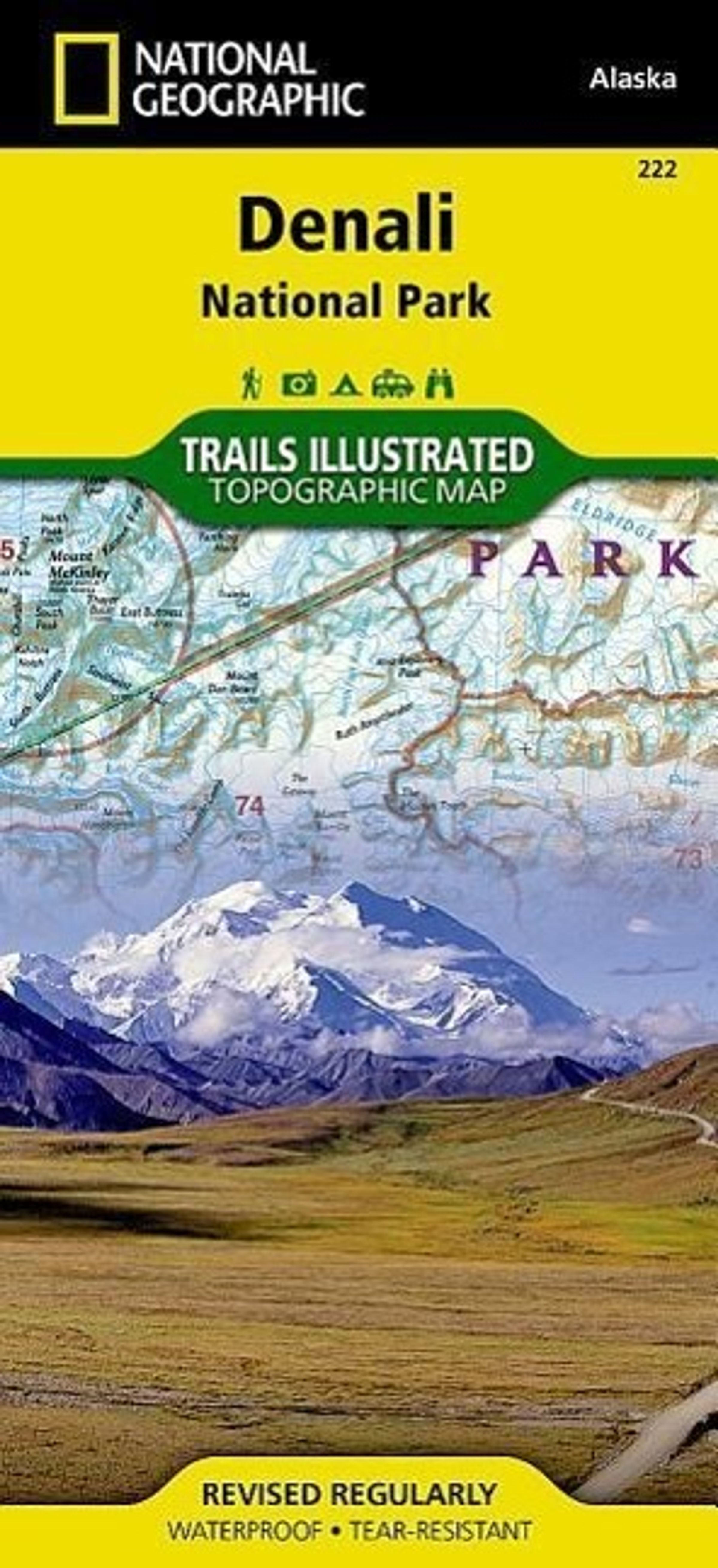
This Trails Illustrated topographic map for Denali National Park in the Alaska Range, crowned by Mounty McKinley, which at 20, 320 feet is Americas highest peak. The map includes the entire national park area, with a close up view of the area in an around Mount McKinley. It also includes information about Denali National Park and Preserve, as well as useful tips about animal encounters, river crossings, hypothermia, and more. Includes UTM grids for use with your GPS unit.

National Geographic Maps - Trails Illustrated
Denali National Park and Preserve Map
Aktueller Preis: EUR 14,46