National Geographic Maps: French Broad and Nolichucky Rivers Map [Cherokee and Pisgah National Forests] (Karten)
French Broad and Nolichucky Rivers Map [Cherokee and Pisgah National Forests]
Karten
lieferbar innerhalb 2-3 Wochen
(soweit verfügbar beim Lieferanten)
(soweit verfügbar beim Lieferanten)
Aktueller Preis: EUR 14,46
Versandkosten
(United States of America): EUR 19,90
- Verlag:
- National Geographic Maps, 01/2020
- Sprache:
- Englisch
- ISBN-13:
- 9781566953870
- Artikelnummer:
- 9223716
- Umfang:
- 2 Seiten
- Nummer der Auflage:
- 2020
- Ausgabe:
- 2020th edition
- Gewicht:
- 93 g
- Maße:
- 233 x 111 mm
- Stärke:
- 12 mm
- Erscheinungstermin:
- 1.1.2020
- Hinweis
-
Achtung: Artikel ist nicht in deutscher Sprache!
Klappentext
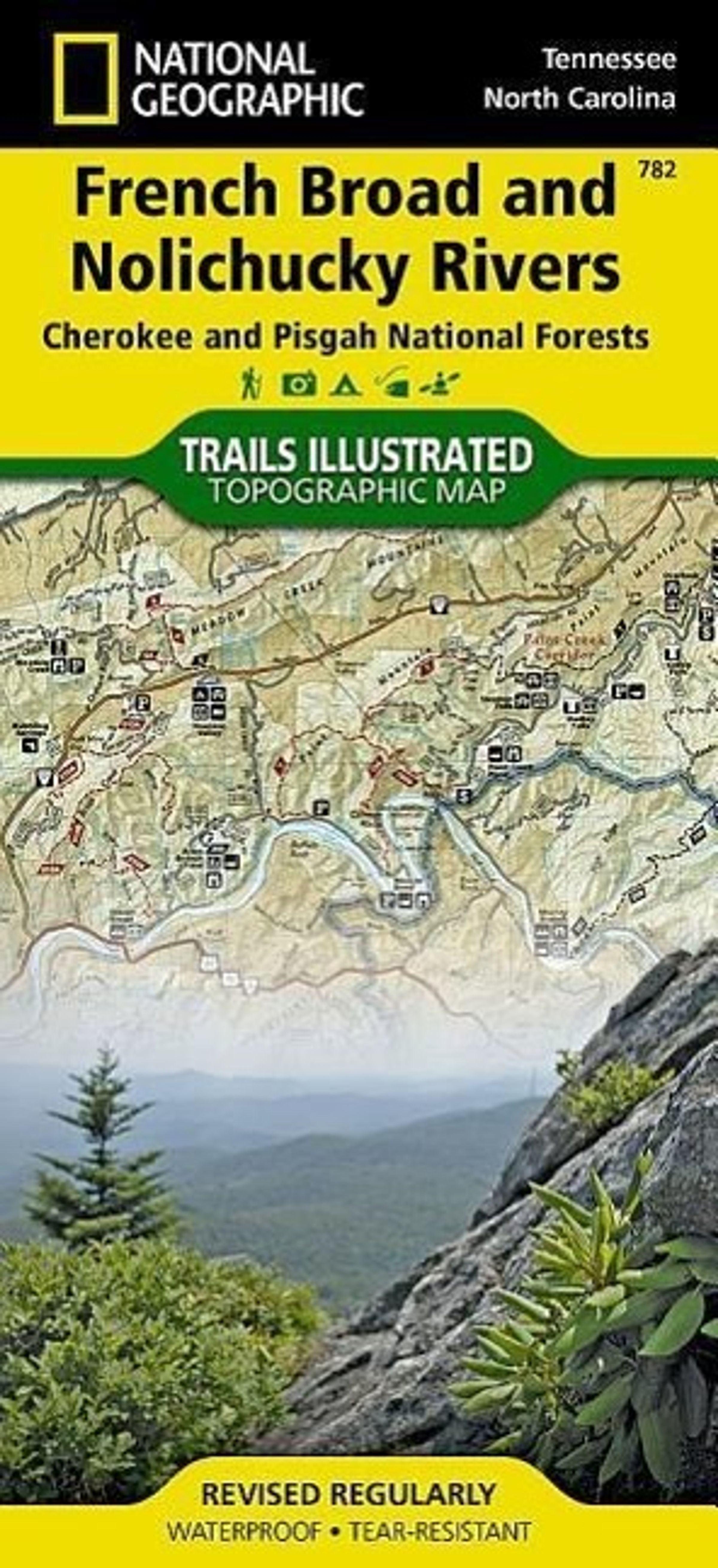
Coverage includes Cherokee National Forest / Northern Districts; Greenville and Newport; and Sampson Mountain Wilderness Area. Boating Access Points: Nolichucky and French Broad Rivers. Scenic Drives: Foothills Parkway. Includes coverage of the Appalachian Trail. Includes UTM grids for use with your GPS unit and a trail mileage matrix.
Mehr von National Geogra...

![National Geographic Maps: National Geographic Road Atlas 2027: Scenic Drives Edition [United States, Canada, Mexico], Buch, Buch](https://lesen.de/image/h90/front/0/9781566957069.jpg)
![National Geographic Maps: French Broad and Nolichucky Rivers Map [Cherokee and Pisgah National Forests], Karten, Karten](https://lesen.de/image/w468/front/0/9781566953870.jpg)
National Geographic Maps
French Broad and Nolichucky Rivers Map [Cherokee and Pisgah National Forests]
Aktueller Preis: EUR 14,46